Nasarawa State, the Home of Solid Minerals, lies in Nigeria’s North Central zone, just east of the Federal Capital Territory. Rich in a remarkable variety of minerals and blessed with fertile farmland, and with its western towns fast becoming suburbs of Abuja, Nasarawa combines great natural resources with a growing strategic importance.
This complete guide brings together everything you need to know about Nasarawa State in one place: the full postal (zip) code for every local government area, the codes for its major towns, and an in-depth profile covering the capital, government, economy, infrastructure, education, culture, tourism and climate.
Before we get to the codes themselves, it helps to understand what they are. In Nigeria, what many people casually call a “zip code” is officially known as a postal code. These are the six digit numbers managed by the Nigerian Postal Service (NIPOST) that identify a specific area for the sorting and delivery of mail. Whether you are sending a parcel, filling out an online form, registering for a service or verifying an address, using the correct postal code for your location keeps everything accurate and reliable.
Nasarawa Zip Code
The postal (zip) codes of Nasarawa State range from 950103 to 962104. It has 13 local government areas, each with its own code, and the capital Lafia falls under 961001 to 961003. Because Nasarawa State is large and every district can have its own code, no single number covers the whole state.
This is why it is always best to confirm the exact code for your specific location rather than relying on one general figure. The tables further down this page list the code for every local government area and for the major towns, so you can find the one that matches your address.
How Postal Codes Work in Nasarawa
Nigeria’s postal code system uses six digits, and the numbers are not random. The opening digits point to a broad postal zone and district, while the remaining digits narrow the location down to a specific delivery area. In Nasarawa State, the codes are grouped around the capital Lafia and spread outward across the local government areas and towns.
For everyday use you rarely need to memorise these codes. What matters is knowing where to look them up and making sure you use the code for your exact district, since a parcel addressed with the wrong postal code can be delayed or misrouted.
As a simple example, a letter or package addressed to the capital, Lafia, would carry a code in the 961001 to 961003 range, while an address in one of the more distant local government areas would use a completely different code. The tables below list the ranges recorded against each local government area and major town, which will get you to the right part of the numbering. They are a starting point rather than the last word: the code that matters for an official form is the one used by the post office that actually delivers to the address.
Full List of Nasarawa State LGA Postal Codes
Below is the complete list of all 13 local government areas in Nasarawa State and their postal (zip) codes.
How to read this table. NIPOST assigns postal codes to post office delivery districts, not to local government areas, and the two do not line up neatly. One delivery district often serves parts of several LGAs, which is why neighbouring areas here can share the same range — that is the system working as designed, not an error. Treat a range as the codes covering that area, not as a code issued exclusively to it. Where a code has to be exact, confirm it with the post office that delivers to the address before you submit anything.
Local Government Area (LGA)
Postal Code Range Serving This Area
Akwanga
960101
Awe
951103
Doma
950103
Karu
961103
Keana
951106
Keffi
961101
Kokona
961105
Lafia
961001
Nasarawa
962101
Nasarawa Eggon
960167
Obi
951101
Toto
962104
Wamba
960134
Postal Codes of Major Towns in Nasarawa
These are some of the most searched towns and areas and their postal codes.
Major Town
Postal Code Range Serving This Area
Lafia
961001
Keffi
961101
Akwanga
960101
Karu (Mararaba)
961103
Nasarawa
962101
Doma
950103
Major Cities and Towns in Nasarawa State
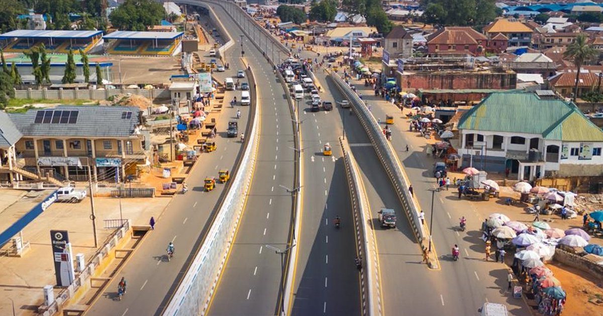
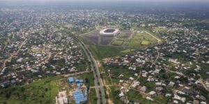
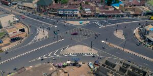
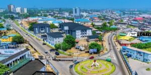
Lafia, the capital, is the largest town and the administrative and commercial centre of the state, a market centre for its farming region.
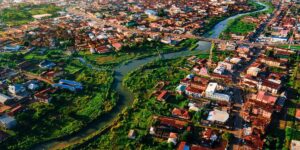
Keffi is a historic emirate town and educational centre on the road to Abuja, while Akwanga is an important town in the north of the state. Karu, together with the sprawling town of Mararaba, has grown into a massive suburb of Abuja, home to hundreds of thousands who work in the capital. Nasarawa and Doma are older emirate towns with their own histories. Together these towns, spread from the Abuja fringe to the eastern farmland, make up the fabric of the Home of Solid Minerals.
Lafia: The Capital of Nasarawa State
Lafia, the capital of Nasarawa State, sits in the east of the state and serves as its administrative and commercial centre. Since the creation of the state it has grown steadily, hosting the state secretariat, the Governor’s office and major institutions, including the Federal University of Lafia.
The city is a market centre for the surrounding farming country, known for its yams and other produce, and it anchors the eastern half of a state whose western towns increasingly look towards Abuja.
Lafia has developed the roads, institutions and facilities of a modern state capital while remaining closely tied to the agricultural life of its region, reflecting the character of the state as a whole.
As the heart of the Home of Solid Minerals, Lafia combines its role as the seat of government with its position as a market town serving a resource-rich and fertile region.
Overview and History of Nasarawa State
Nasarawa State was created in 1996 from the former Plateau State. It lies in the North Central zone and is divided into 13 Local Government Areas. It takes its name from the town of Nasarawa, an old emirate settlement, the word deriving from an Arabic term for victory.
The state is one of the most ethnically diverse in Nigeria, home to the Eggon, Alago, Mada, Gwandara, Koro, Tiv and many other groups, along with Hausa and Fulani communities, each with its own language and traditions.
Its position just across the boundary from the Federal Capital Territory has given the state a growing strategic importance, with the western towns of Karu and Mararaba becoming major dormitory suburbs for Abuja.
This combination of abundant minerals, fertile farmland, great ethnic diversity and proximity to the capital gives Nasarawa a distinctive and increasingly important place among the states of the North Central zone.
Economy of Nasarawa State
Nasarawa’s economy rests on agriculture and mining. The state is famous for its remarkable variety of solid minerals, including salt at Keana, along with barite, gemstones, coal, limestone and many others, earning it the title Home of Solid Minerals.
Agriculture is widespread, with yam, rice, maize, sesame and other crops grown across the fertile land, and the state is a significant producer of food for the surrounding region and the nearby capital.
Its proximity to Abuja has boosted commerce, construction and services in the western towns, which serve the huge population working in the capital, adding a fast-growing urban dimension to the economy.
This blend of abundant minerals, productive agriculture and the growing commerce of the Abuja fringe gives Nasarawa a varied and developing economy.
Quick Facts About Nasarawa State
Capital: Lafia
Geopolitical Zone: North Central
Postal Code Range: 950103 to 962104
Number of Local government areas: 13
Governor: Abdullahi Sule
Created: 1996
Also Known As: Home of Solid Minerals
Frequently Asked Questions
What is the zip code for Nasarawa State?
Nasarawa State postal codes range from 950103 to 962104. Each local government area and district has its own specific six digit code, so use the tables above to find the exact one for your area.
What is the postal code for Lafia?
Lafia, the capital, falls under the 961001 to 961003 range.
How many local government areas are in Nasarawa State?
There are 13 local government areas in Nasarawa State.
Who is the current governor of Nasarawa State?
The Governor of Nasarawa State is Abdullahi Sule.
What is the capital of Nasarawa State?
The capital of Nasarawa State is Lafia.
Does every area in Nasarawa have its own postal code?
Yes. NIPOST assigns six digit codes down to district and street level, which is why a single state wide number is not enough for accurate delivery.
What geopolitical zone is Nasarawa State in?
Nasarawa State is located in the North Central geopolitical zone of Nigeria.
When was Nasarawa State created?
Nasarawa State was created in 1996, and it is today divided into 13 local government areas.
What is Nasarawa State also known as?
Nasarawa State is also known as the Home of Solid Minerals, a name that reflects its identity and heritage.
What is the postal code range for Nasarawa State?
The postal codes of Nasarawa State run from 950103 to 962104, covering all 13 of its local government areas and the towns within them.
Do I need a postal code to send mail within Nasarawa State?
Using the correct postal code helps ensure that mail, parcels and deliveries reach the right district within Nasarawa State quickly and accurately, and many online forms and delivery services now ask for it.
How to confirm these postal codes
Nigerian postal codes are administered by the Nigerian Postal Service (NIPOST), which assigns a six-digit code to each delivery area. Codes are occasionally revised when local government areas are created, renamed, or reorganised, and a single town can fall under more than one code depending on the delivery district. The codes on this page are compiled from NIPOST listings and state administrative records. If you are addressing official mail or completing a form where the code must be exact, confirm it on the NIPOST website or at your nearest post office.
Image credit: pbs.twimg.com
Sources and verification
We checked the practical guidance on this page against the primary or authoritative references below. Follow the linked source for the latest official position before making a payment or time-sensitive decision.