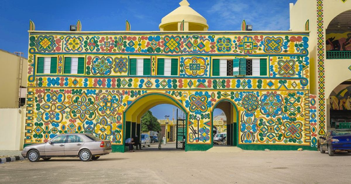
The North West is the most populous zone in Nigeria, with seven states and two of its largest cities. Choose a state below to open the full postal code guide for its local government areas and towns.
The North West is the most populous geopolitical zone in Nigeria and a heartland of Hausa and Fulani culture. It is home to ancient commercial cities such as Kano, historic centres of Islamic learning such as Sokoto, the seat of the caliphate, and vast farmlands producing grain, livestock and cotton.
The zone is made up of seven states: Kaduna, Kano, Katsina, Kebbi, Jigawa, Sokoto and Zamfara. Their capitals include the great cities of Kano and Kaduna, along with Katsina, Sokoto, Birnin Kebbi, Dutse and Gusau.
Postal Codes Across the North West
Postal codes in the North West are managed by the Nigerian Postal Service (NIPOST) and vary from state to state, with each state having its own range that covers all of its local government areas and towns. For example, the codes around Kano begin in the 700001 range, while those around Kaduna begin in the 800001 range. Each state guide below breaks these ranges down to the individual local government area and town.
How to Find the Right Postal Code
Kano and Kaduna are each large enough to be split into many delivery districts, while rural local government areas across Katsina, Kebbi, Jigawa, Sokoto and Zamfara often share a code with their nearest administrative town. Open the state guide above and match your local government area before sending mail.
Frequently Asked Questions
How many states are in the North West?
The North West is made up of 7 states.
How do I find the postal code for a town in the North West?
Open the guide for the state that contains the town from the list above, then find the town or its local government area in the tables to get the exact six digit postal code.
Image credit: pbs.twimg.com
How a Nigerian Postal Code Is Built
Every NIPOST code is six digits, and the digits are not arbitrary. The first digit identifies one of the nine postal regions the country is divided into. The second and third narrow that down to a dispatch district, the sorting centre responsible for an area. The last three identify the delivery location served by a particular post office.
Two rules make the system easier to read once you know them. A state or district head office always ends in 0001, so a code ending in those four digits is almost always the main post office for that area. And dispatch district prefixes step upward in twenties within a region rather than counting one by one, which is why you see 200, 220, 240 and 260 in a region but nothing in between. Kano and Kaduna each anchor their own dispatch districts, and codes beginning 700 and 800 both appear across the zone.
The full national range runs from 100001 to 982002.
North West States and Their Capitals
The North West zone contains the following states. Open a state guide for its codes.
State
Capital
Jigawa State
Dutse
Kaduna State
Kaduna
Kano State
Kano
Katsina State
Katsina
Kebbi State
Birnin Kebbi
Sokoto State
Sokoto
Zamfara State
Gusau
Why Online LGA Tables Disagree With Each Other
If you search for the postal code of a local government area in the North West, you will find table after table assigning a neat code range to every LGA. Compare two of them and they rarely agree. Compare one against itself and it often does not agree either: the same range routinely appears against several different LGAs in the same state.
There is a straightforward reason for this. NIPOST assigns codes to post office delivery districts, not to local government areas. The two do not map onto each other. A single delivery district can serve parts of several LGAs, and a large LGA can contain several delivery districts. Any table that promises one tidy code range per LGA has had to invent the mapping to fill the column, which is why those tables contradict one another and themselves.
What can be relied on is the structure described above, the head office codes, and the code your own post office actually uses.
What Changes on 1 October 2026
NIPOST is replacing the six digit numeric postcode with a National Digital Alphanumeric Postcode: eleven characters, working through five levels from state down to local government area, district, area and finally the individual building. NIPOST’s own worked example is FC02A09DB09.
The practical difference is precision. A six digit code points at a delivery district that may cover a wide area; the new code points at a specific building. The public search is at postcode.gov.ng. The six digit codes on this site remain the ones in everyday use until the changeover, and we will update these guides as the new system rolls out.
How to Confirm a Code Before You Use It
For everyday post, the code for your delivery district is enough and any of the state guides here will get you to it. Where the code has to be exact — a passport or visa application, a bank or regulatory form, a customs declaration, an international parcel — confirm it before you submit, because a rejected form costs far more time than the check does.
The quickest confirmation is to ask at the post office that actually delivers to the address, since they use the code daily. Failing that, check the NIPOST website or the new postcode portal. If a form will not accept the code you have, the head office code for the state capital is generally accepted, and it is better than guessing.
Sources and verification
We checked the practical guidance on this page against the primary or authoritative references below. Follow the linked source for the latest official position before making a payment or time-sensitive decision.